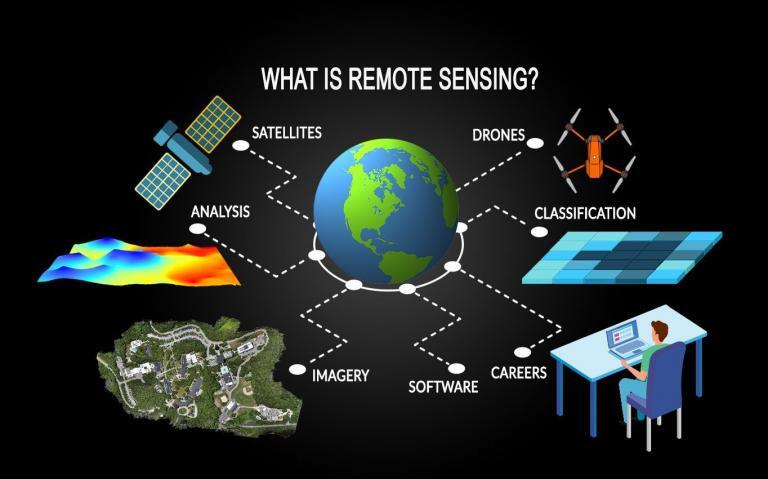
Course Overview
Remote Sensing is an introductory undergraduate course designed to provide students with foundational knowledge of acquiring and analyzing information about the Earth’s surface without direct contact. The course requires no prerequisites and serves as a general education natural science option for non-majors, while also introducing students to geospatial sciences, environmental monitoring, and earth observation technologies. It emphasizes the role of satellite and aerial data in understanding environmental processes and supporting decision-making.
Objectives
The course aims to develop scientific literacy in remote sensing by introducing fundamental principles of electromagnetic radiation, sensor technologies, and image interpretation. It connects theoretical concepts to real-world applications such as environmental monitoring, agriculture, disaster management, and urban planning. Students will learn to critically analyze spatial data and understand how remote sensing contributes to solving environmental and societal challenges.
Scope
The course is structured into eight major units covering:
- Fundamentals of remote sensing and electromagnetic radiation
- Energy interactions with the atmosphere and Earth’s surface
- Remote sensing platforms (satellites, aircraft, drones)
- Sensor types and characteristics (passive and active sensors)
- Image acquisition, processing, and enhancement techniques
- Visual and digital image interpretation
- Applications of remote sensing (agriculture, geology, hydrology, urban studies)
- Introduction to Geographic Information Systems (GIS) and data integration
The course emphasizes conceptual understanding with minimal mathematical complexity, using diagrams, imagery, and practical examples to illustrate concepts.
Learning Outcomes
Upon completion of this course, students will be able to:
- Explain the basic principles of remote sensing
- Describe different types of sensors and platforms
- Interpret satellite images and aerial photographs
- Understand spectral signatures and image characteristics
- Apply remote sensing techniques to environmental and resource management
- Distinguish between different land cover and land use types
- Integrate remote sensing data with basic GIS concepts
Students will also develop skills in spatial analysis, data interpretation, critical thinking, and scientific communication.
Pedagogy and Assessment
The course adopts active learning strategies including image analysis exercises, case studies, demonstrations, and practical laboratory sessions using remote sensing data. Real-world datasets and examples are used to enhance understanding and relevance.
Assessment structure includes:
- Examinations: 50–55%
- Laboratory/Practical Work: 25–30%
- Projects and Assignments: 15–20%
- Class Participation: 5%
The emphasis is on application, interpretation, and analytical skills rather than memorization. Weekly time commitment is approximately 11–14 hours, including lectures, lab work, readings, and assignments.
Significance
This course fulfills general education requirements while promoting awareness of geospatial technologies and their importance in environmental management and sustainable development. It provides an accessible introduction to remote sensing for diverse students and builds foundational knowledge applicable in fields such as geology, geography, environmental science, agriculture, urban planning, and disaster risk management.
Remote sensing plays a critical role in addressing global challenges such as climate change, deforestation, land degradation, and resource management, making this course highly relevant in today’s data-driven world.
- Lecturer : magnus iyioku